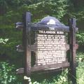
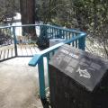
Trees on 240,000 acres were killed in 1933 in one of the Nation's worst forest fires which started four miles northeast of this point.
Just Added
This division was organized for World War I in 1917 at Camp Greene, North Carolina and was demobilized at Camp Die, New Jersey in 1919. It was reorganized and Federally recognized at Portland, Oregon in 1930.
Oregon's Historic Tillamook Forest Fire of 1933 spread over 240,000 acres of forest land, fires in 1939 and 1945 brought the total to 355,000 acres. Over 13 billion board feet of timber were killed.
This highway is reverently dedicated to Oregon's sons.
Lt. Neil M. Howison, U.S.N., arrived in the Columbia River 1 July, 1846 on board the 300-ton United States Naval Survey Schooner "Shark" for the purpose of making an investigation of part of the Oregon Country.
On January 8, 1806 William Clark and perhaps fourteen of the famous expedition reached a Tillamook village of five cabins on a creek which Captain Clark named Ecola or Whale Creek.
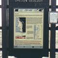
Devastating waves called “tsunamis” can strike the Oregon coast at any time.
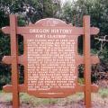
Fort Clatsop, built by Lewis and Clark in December, 1805 for use as winter headquarters, was situated eight-tenths of a mile south of this point.
Fort Stevens was named for General Isaac Ingalls Stevens, first Governor of Washington Territory, who died a hero of the Civil War of 1862.
Location:
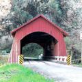
From Yachats travel approximately 7 miles east on Yachats River Road to N Yachats River Road. At the intersection turn north and travel approximately 1.5 miles.
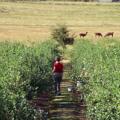
Nodaway Blues Blueberry Farm, a U-pick operation at 24275 S.W. Nodaway Lane on Wilsonville's outskirts, has llamas as neighbors and sits at the end of a lane lined with cherry trees.
History, nature and workout
By Patrick Johnson
For Oregon.com
